Discover Tinghir: the oasis town of the Todgha Valley
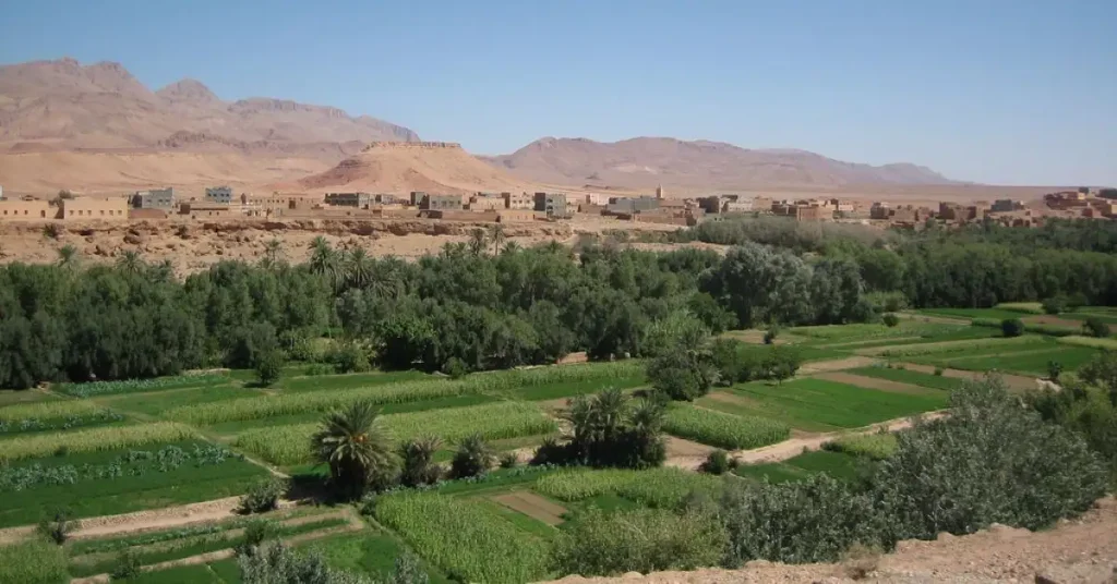
Set on terraces overlooking the Todgha oasis, Tinghir occupies a distinctive position between the High Atlas and the mountains of the Saghro. Many travellers simply pass through the town on their way to the famous gorges. Yet Tinghir is well worth a stop to understand an ancient territory shaped by water, agriculture, ksour and the movement of people between the mountains and the pre-Saharan valleys.
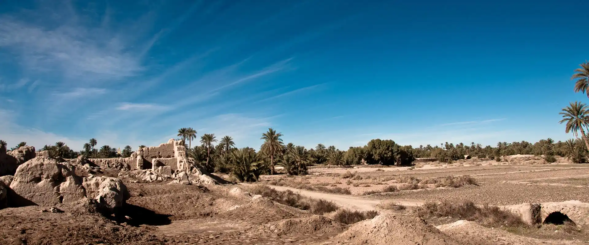
The modern town developed in the midst of an oasis inhabited for centuries. It is by taking the time to walk through the gardens, observe the irrigation channels and explore the old quarters that Tinghir truly reveals its identity.
Contents
Tinghir and its surroundings at a glance
Tinghir is a base for exploring five areas: its palm grove, the Todgha Gorges, the Dadès Valley, the Valley of Roses and the Ferkla oasis. The map shows them all.
Why stop in Tinghir?
Tinghir is often presented as the gateway to the Todgha Gorges. While this is certainly true, it does not fully define the town. Tinghir is first and foremost the centre of a long oasis valley, irrigated by water descending from the High Atlas and organised around several dozen ksour.
The town also serves as a market and service centre for the villages of the valley, the mountain communities of the High Atlas and the inhabitants of the Saghro. Its position on the route linking Ouarzazate with the Tafilalet has long made it a place of passage and exchange. By the end of the nineteenth century, the qsar of Tinghir was already regarded as one of the main trading centres of the Moroccan pre-Sahara.
Three elements sum up its identity today:
- the oasis, shaped by irrigated agriculture and the collective sharing of water;
- the ksour, which once formed the political and human backbone of the valley;
- the market town, which gradually developed into an administrative, commercial and transport centre.
Tinghir therefore offers a particularly good view of the transformation of an old oasis territory, gradually surrounded by a modern town. Urban growth, new buildings and the development of roads have profoundly altered the relationship between villages, gardens and the administrative centre.
Read more: The Fint oasis as told by its elders…
The history of Tinghir
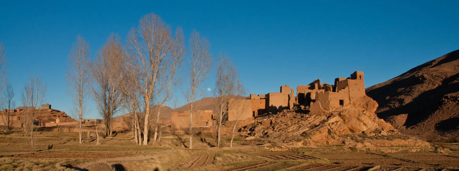
The area was far from empty before the present-day town developed. The Todgha Valley was structured around a dense network of fortified villages. A study carried out towards the end of the twentieth century recorded more than 64 ksour and their modern extensions throughout the valley. Each community possessed land, water rights and institutions responsible for organising collective life.
The qsar of Tinghir occupied a central position. It stood on an old route linking the Tafilalet and the eastern territories with the roads leading towards Ouarzazate and Marrakech. Its market also benefited from its position between several groups living in the valley and the surrounding mountains.
At the beginning of the twentieth century, the Glaoua sought to impose their authority over the Todgha. Thami El Glaoui had a kasbah built in 1919 on the hill overlooking Tinghir. His power, however, remained limited to some of the ksour close to the town and never extended permanently over the entire valley.
French troops occupied the Todgha on 18 and 19 November 1931. A colonial administration was subsequently established in Tinghir, with a Bureau of Indigenous Affairs and new facilities. A market was laid out in the late 1930s, further strengthening the town’s commercial role.
After independence, the construction and paving of roads accelerated travel towards Tinghir. Neighbouring villages, including Afanour, Tagoumast and other older settlements, were gradually absorbed into the urban area. The town became the main administrative and economic centre of the Todgha before being made the capital of the province in 2009.
Read more: The Glaoua, the extraordinary story of a small Berber tribe of the Atlas
What to see and do in Tinghir
View the town and palm grove from above
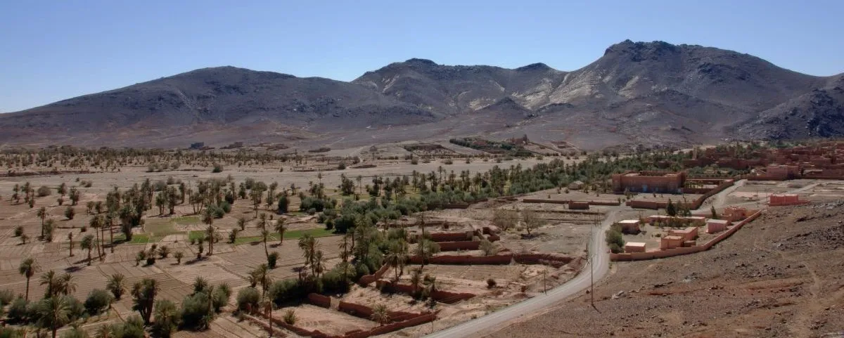
The landscape of Tinghir is best understood from the viewpoints overlooking the valley. From the heights near the former Glaoua kasbah, the view takes in the town’s neighbourhoods, the old villages, the oasis gardens and the mountains closing off the horizon.
The contrast is particularly striking between the green valley floor and the arid plateaux surrounding it. It helps explain how settlements developed on the terraces and edges of the oasis so that cultivable land could be preserved.
The ruins of the old kasbah are not necessarily a monument laid out for a complete visit. The main interest of the site today lies in the panoramic view it offers over the town and valley. The Moroccan National Tourist Office also presents this viewpoint as one of the main ways of discovering the landscape of Tinghir.
Walk through the Todgha palm grove
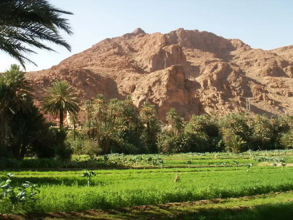
The palm grove is neither a park nor a tourist garden. It is an agricultural landscape made up of countless small plots connected by paths and irrigation channels. Date palms, olive trees, fig trees, almond trees, cereals, alfalfa and market-garden crops occupy the different levels of the oasis.
A walk allows you to leave the town for the gardens and then reach some of the villages established on either side of the wadi. The route is not always signposted and paths may branch between the plots. A local guide can be useful for a longer walk or if you want to link several ksour precisely.
Visitors should remain on the paths in use, avoid entering cultivated plots and respect the people working in the gardens. The oasis remains, above all, a productive and living landscape.
Understanding how water is shared
The valley depends on the Todgha and on an ancient system of dams, seguias and water turns. Channels carry water towards the plots according to a collective system which traditionally linked each irrigation right to the ownership of land.
The nouba refers to the cycle of water distribution. Each community, then each group and each farmer, is allocated a set period of time. Once the cycle is complete, distribution begins again in the same order. Maintenance of the dams and main channels is carried out collectively by the inhabitants of the ksour.
This system is not merely an agricultural technique. It has shaped social relations and power structures throughout the valley. Controlling water or altering its distribution could benefit some villages while weakening others.
Discover the town centre and its main souk
Central Tinghir is that of a modern administrative and commercial town. Its main avenues are lined with shops, cafés, public services, transport and tourism-related businesses. It does not have the compact organisation of an imperial medina.
Walking through the centre is above all a way of observing the town’s regional role. Tinghir receives people from the villages of the valley, the High Atlas and the Saghro who come to shop, sell their produce or deal with administrative matters.
The main weekly souk is traditionally held on Mondays. For several decades, it has been one of the major commercial gatherings of the Moroccan pre-Sahara. As with all weekly markets, its exact organisation may change and is best checked locally.
Explore Tinghir’s old quarters
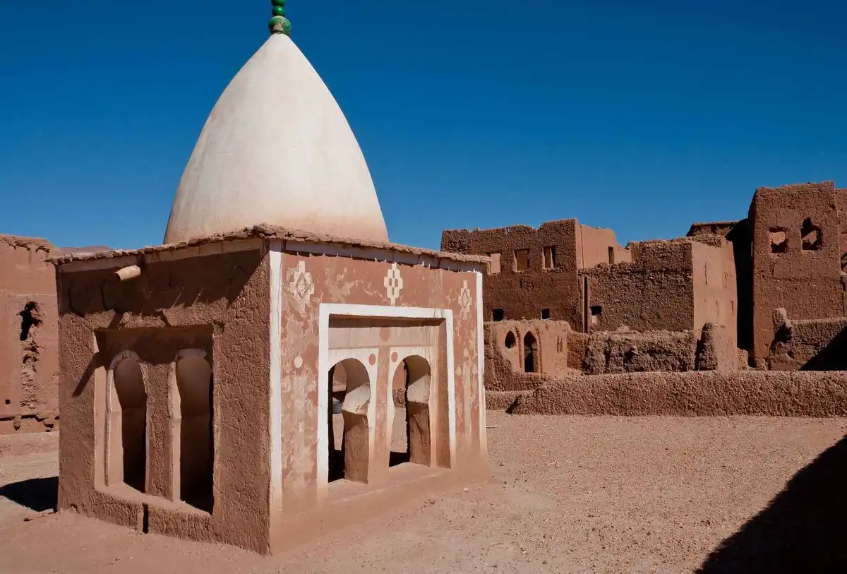
The old qsar of Tinghir and the neighbouring historic quarters provide an insight into how the town was organised before the development of the modern city. Narrow streets, covered passageways and earthen houses reflect a form of settlement designed around protection, proximity and adaptation to the climate.
The condition of the buildings varies greatly. Some houses are maintained or restored, while others have been abandoned or weakened. These districts should not be explored as though they were deserted ruins: they remain partly inhabited and require discretion and respect.
The modern town has gradually grown around these old settlements. Their structure is therefore less immediately legible than that of an isolated ksar, but they reveal how Tinghir developed through successive additions and extensions.
Read: The lost destiny of the Jews of South-Eastern Morocco
Rediscover Tinghir’s Jewish heritage
Tinghir and several villages in the valley were once home to substantial Jewish communities. They were notably present in the qsour of Tinghir, Taourirt, Aït Ourjdal and Asfalou. Jewish families took part in trade and crafts, particularly the working of silver and gold.
Most of this population left the valley during the 1940s and 1950s. The old mellahs, cemeteries and memories preserved by local inhabitants are now the main surviving traces of this presence.
This history was brought back into the spotlight by filmmaker Kamal Hachkar in the documentary Tinghir-Jérusalem, les échos du Mellah. The film brings the inhabitants of Tinghir into dialogue with Jews originally from the valley who settled in Israel and explores the links they have maintained with their place of origin.
Read: From Tinghir to Jerusalem, weaving the universality of Morocco
Around Tinghir
The Todgha Gorges
Around fifteen kilometres from the centre of Tinghir, the valley gradually narrows between high rock walls. The Todgha Gorges are the region’s best-known landscape and one of the major natural sites of South-Eastern Morocco.
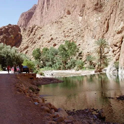
The most spectacular section is a narrow defile dominated by cliffs which locally rise to more than 300 metres. A surfaced road passes through the gorges and continues towards the upper valley. The site has also become an important climbing destination.
Easy access should not obscure the natural character of the site. Traffic, parking and visitor numbers can all be considerable. To discover the gorges more fully, it is worth leaving the road from time to time and walking with someone who knows the local trails.
After heavy rain, check local conditions before entering narrow sections of the gorge.
Tizgui and the villages of the upper oasis
Before reaching the narrow gorge, the road passes through the villages and gardens of the upper valley. Tizgui is one of the main settlements at the entrance to the gorges.
This section of the Todgha helps reveal the continuity between the source, the villages, the cultivated land and the palm grove further downstream. Several walks lead through gardens and along irrigation channels, or up to viewpoints overlooking the valley.
The upper oasis has more water than the areas further downstream. It has therefore traditionally benefited from more favourable irrigation rights and more regular agriculture.
Visit the old Ikelane mosque-madrasa in Afanour
Two kilometres from Tinghir, the old ksar of Ikelane in the Afanour area contains a particularly interesting earthen mosque-madrasa. The building once served several purposes: a place of prayer, a centre of learning and accommodation for students coming from other areas.
Its interior architecture reflects this organisation, with a prayer hall, study areas, places for ablutions and former accommodation rooms. Part of the complex has been maintained and restored thanks to local initiatives.
Access conditions should be checked locally. This is not necessarily a monument with fixed opening hours or permanent tourist reception facilities.
Read: Near Tinghir, the old Afanour mosque combines beauty and history
Tamtatouchte, a village beyond the gorges
Continuing beyond the Todgha, the landscape opens out and becomes increasingly mountainous. Tamtatouchte lies around 18 km from the gorges and about 30 km from Tinghir.
The village is surrounded by arid mountains, cultivated land and old stone and earthen buildings. It makes an attractive extension to an excursion for travellers wishing to discover another side of the High Atlas, more rural and further removed from the main routes.
Read: Tamtatouchte, the rose of the Todgha Valley
Beyond Tinghir
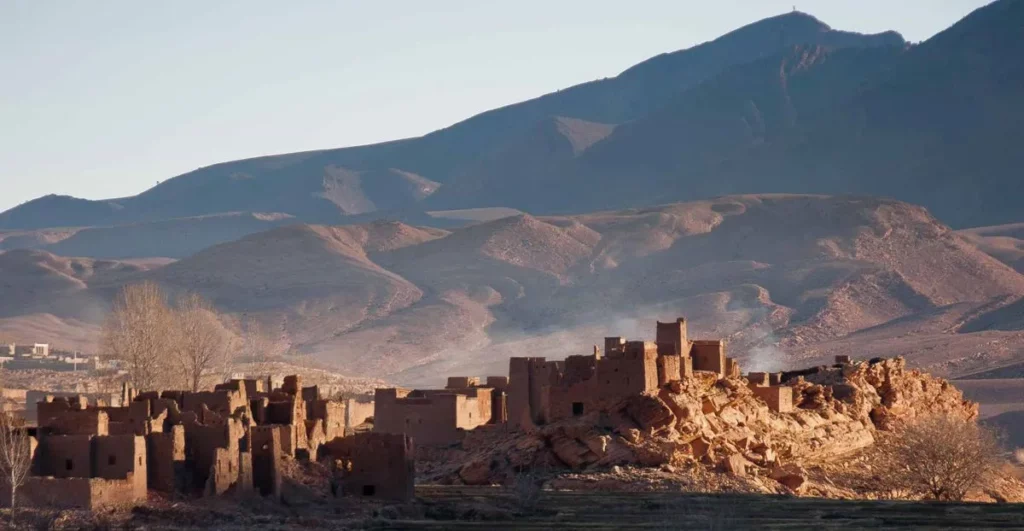
Boumalne Dadès and the Dadès Gorges
Around fifty kilometres west of Tinghir, Boumalne Dadès gives access to another major valley on the southern slopes of the High Atlas. The road follows the Dadès upstream through villages, gardens, kasbahs and geological formations, some of them spectacular in shape.
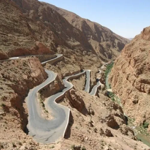
Unlike the very narrow Todgha Gorges, the Dadès Gorges form a succession of open valleys, defiles, cliffs and rocky narrows. The formations known as the “Monkey Fingers” and the winding road at Tisdrine are among their best-known sights.
The valley deserves to be explored slowly. Its finest landscapes are not all concentrated in one place, and distances are greater than they may appear on a map.
Kelaat M’Gouna, the Valley of Roses and the M’Goun
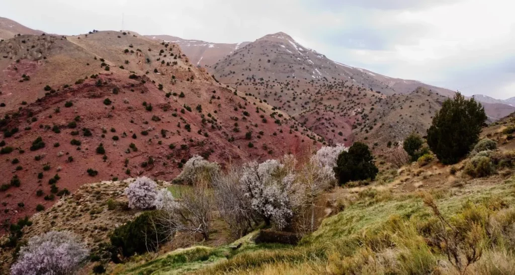
Further west, Kelaat M’Gouna marks the entrance to the Valley of Roses. Cultivation extends along the Dadès and M’Goun valleys, where gardens, villages and kasbahs occupy the irrigated land.
The road towards Boutaghrar and the villages of the M’Goun leads into a more rural landscape of plateaux, narrow valleys and earthen villages. The M’Goun massif dominates this mountain region, but climbing it involves a genuine high-altitude trek and should not be confused with an ordinary day excursion.
The Rose Festival is generally held in spring in Kelaat M’Gouna. As its dates vary from one edition to another, they should be checked before travelling.
Jbel Saghro, Ikniouen and Bougafer
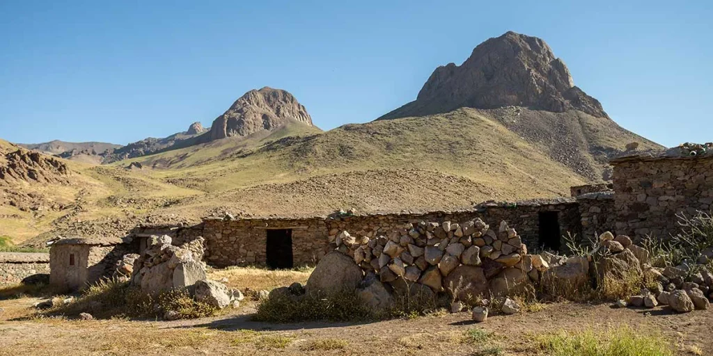
South of Tinghir stretches Jbel Saghro, an arid mountain range lying between the pre-Saharan valleys and the rest of the Anti-Atlas. Its plateaux, rocky peaks and isolated valleys offer landscapes very different from those of the High Atlas.
Ikniouen is one of the main access points to this part of the Saghro. The area is associated with the Aït Atta and with the memory of the Battle of Bougafer, during which their resistance to French troops continued until 1933.
Exploring the Saghro requires more preparation than an excursion into the Todgha Valley. Distances, limited water, the condition of tracks and the lack of signposting make it advisable to travel with an experienced guide.
Looking for a guide? Contact us
Towards Tinejdad and the Ferkla oasis
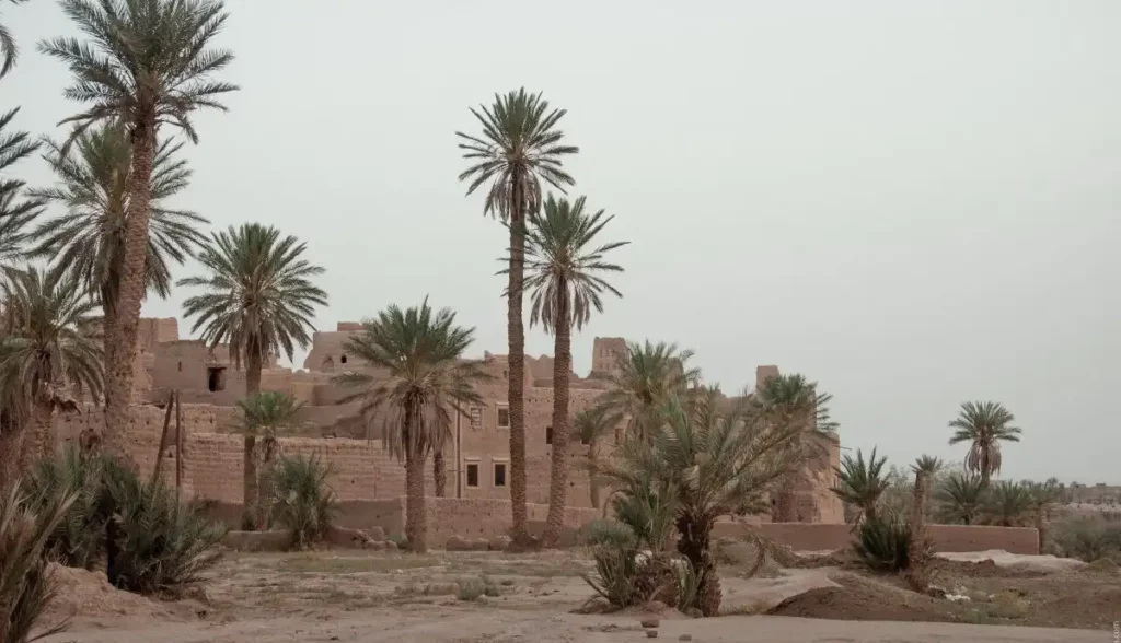
East of Tinghir, the N10 leads towards Tinejdad and the Ferkla oasis. The ksar of El Khorbat is one of the most interesting sites along this route.
Still inhabited today, the ksar offers an opportunity to observe the internal organisation of a fortified earthen village. It also houses a museum devoted to the oases, displaying objects, techniques and aspects of everyday life in South-Eastern Morocco.
The route can then be continued towards Goulmima, Errachidia and the Tafilalet.
Imider and the province’s mining history
West of Tinghir, the Imider area is associated with one of Morocco’s main silver deposits. The Imiter mine is operated by Société Métallurgique d’Imiter, a subsidiary of the Managem Group, and produces metallic silver.
The mine is not an ordinary tourist site. It nevertheless forms an important part of the economic and social history of the province. Its operation has prompted debate and a long-running local movement concerning access to water, employment and the distribution of the benefits generated by the area’s natural resources.
Imider is a reminder that the landscapes of the province should not be viewed solely through a tourist lens. They are also places of work, extraction, protest and social change.
Read more: South-Eastern Morocco, a land of adventure for mineral explorers
How to get Tinghir
From Ouarzazate
The N10 passes through Skoura, Kelaat M’Gouna and Boumalne Dadès before reaching Tinghir. The journey covers approximately 165 km and generally takes around 2½ hours.
The road is surfaced and is one of the main routes through South-Eastern Morocco. It provides access to several important valleys and sites, although traffic and the passage through villages can lengthen journey times.
From Errachidia and the Tafilalet
The N10 links Errachidia with Tinghir, passing notably through Goulmima and Tinejdad. Allow around 135 km and approximately two hours’ driving.
This route also provides access to Tinghir from Erfoud, Rissani and Merzouga by continuing west after the Tafilalet.
By public transport
Buses and shared grand taxis connect Tinghir with Ouarzazate, Errachidia, Marrakech and several towns in South-Eastern Morocco. As frequencies and timetables vary according to operator and season, it is best to check directly at the bus station or with the transport company.
To reach the Todgha Gorges and the villages of the upper valley, travel is mainly by taxi or locally arranged transport.
Via the mountain roads
Tinghir is also connected to the High Atlas by the road running through the gorges, Tamtatouchte and Aït Hani. This route crosses high-altitude areas and can be affected by snow, rain, flooding or roadworks.
Before continuing towards Aït Hani or Imilchil, it is advisable to check the actual road conditions locally.
Need a taxi? : Contact us
Where to stay in Tinghir?
The town centre is suitable for travellers who want to stay close to shops, restaurants, the bus station and taxis. It is practical for an overnight stop or as a base for exploring in several directions.
Accommodation close to the palm grove offers more peace and a greater sense of immersion in the oasis landscape. It also makes it easy to walk through the gardens among the palm trees.
The road towards the gorges and the villages of the upper valley offers a third option. This area is particularly suitable for travellers wishing to walk, climb or spend more time in the Todgha.
When to visit Tinghir?
Spring and autumn offer the most pleasant temperatures for exploring the town, walking through the palm grove and discovering the surrounding valleys.
In spring, vegetation returns to the oasis while snow may still remain on the mountain summits. This is also the flowering season for Damask roses in the Valley of Roses around Kelaat M’Gouna; the dates of the Rose Festival vary from one year to another.
Summer can be very hot in the town and on the valley floor. Walks are therefore more pleasant early in the morning or towards the end of the day. The gorges provide shade in some sections, although they can become very busy.
Winter is generally sunny, but nights are cold and high-altitude roads can be affected by snow. After heavy rainfall, particular care should also be taken over the risk of flooding in valleys and narrow gorges.

Further reading: Planning your trip to South-East Morocco
Use our contact form.
We will be happy to answer your questions.
More to Explore