Discover Zagora: the Drâa Valley, oases and gateways to the Sahara
Zagora becomes interesting once you stop seeing it simply as a departure point for the desert. The town lies at the heart of one of southern Morocco’s great historic landscapes: the Drâa Valley, a long oasis where water, palm groves, earthen villages and ancient caravan routes have enabled people to live and travel along the margins of the Sahara.
Overview
Zagora and its surroundings at a glance
Zagora is the hub of five stops along the Drâa Valley: Agdz and Tamnougalt, its palm grove, Tamegroute and Tinfou, M’Hamid El Ghizlane and Erg Chigaga. The map shows them all.
Why stop in Zagora?
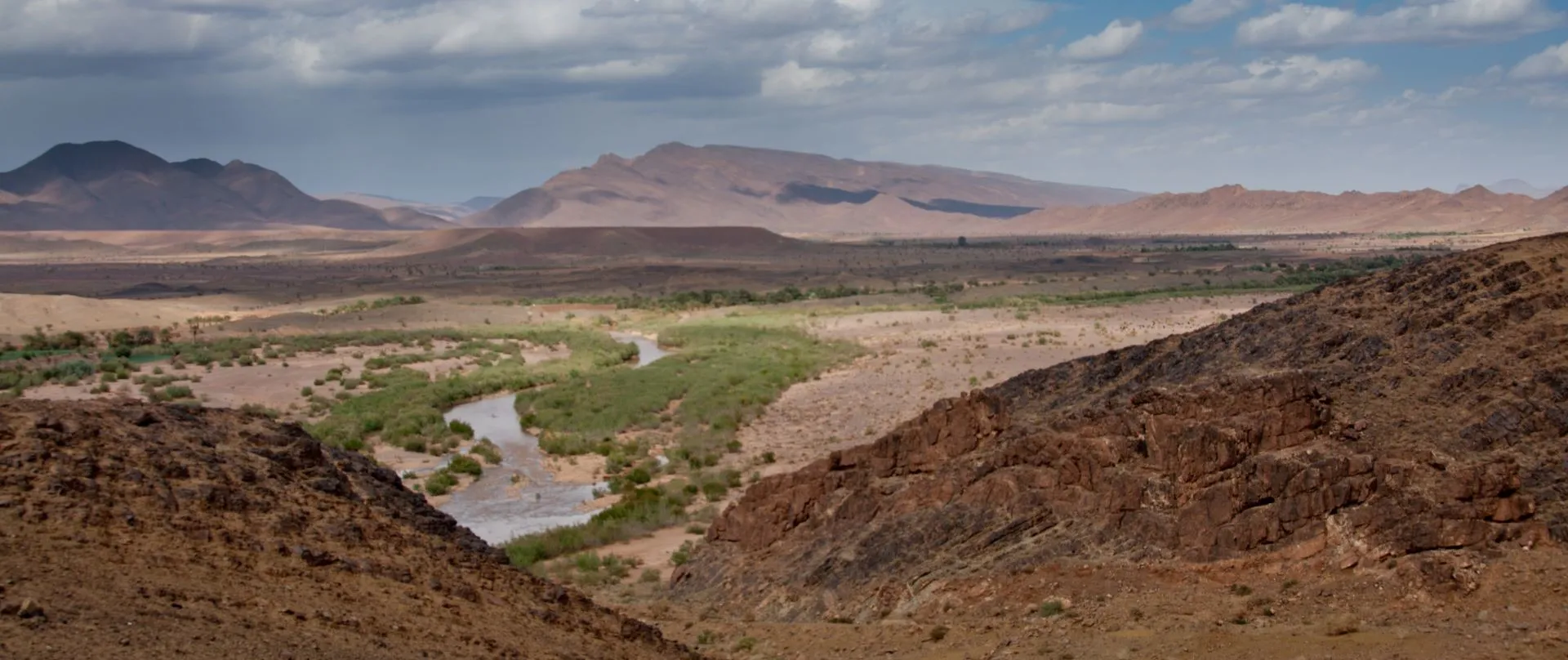
Zagora is first and foremost a transitional town. Coming from Ouarzazate, the road follows the fertile ribbon of the Drâa for dozens of kilometres, passing palm groves, irrigated fields, ksour and arid hills. Beyond Zagora, the palms gradually thin out, cultivated land becomes scarcer and the landscape opens towards the vast pre-Saharan expanses leading to M’Hamid El Ghizlane.
The modern town itself has neither a large historic medina nor any spectacular monument. Its interest lies instead in its position at the heart of a territory where oases, settled and nomadic populations, irrigated agriculture and routes towards the Sahara have met for centuries.
Today Zagora is the administrative, commercial and tourist centre for much of the valley. Its market, shops and services serve the surrounding villages, while travellers and desert expeditions find here their last real urban centre before heading south.
Four elements sum up its identity:
- the Drâa Valley and its palm groves;
- ksour and earthen architecture;
- the memory of the caravan routes;
- the gradual transition towards the Sahara.
The history of Zagora
The territory around Zagora is far older than the present-day town. For centuries, people have lived mainly in the oases and fortified villages of the Drâa Valley. The river and its irrigation networks made it possible for farming communities to settle in an otherwise extremely arid environment.
The valley was also a major route between northern Morocco and Saharan and sub-Saharan regions. Merchants, caravans, travellers, pilgrims and political powers used these routes for centuries. Trans-Saharan trade linked the oases of the Drâa in particular with routes leading to gold-producing regions and the major trading centres of the Sahel.
Jbel Zagora, which overlooks the town, preserves the badly ruined remains of a fortress studied by Jacques Meunié and Charles Allain, who identified it in 1956 as dating from the Almoravid period. The site occupied a strategic position from which the valley and its routes could be monitored.
The modern town developed mainly during the 20th century under the French Protectorate, with the establishment of administrative and military functions. After independence, its regional role gradually increased until it became the capital of a vast province extending southwards to the desert areas close to the Algerian border.
What to see and do in Zagora
Explore the town centre
Zagora is a modern town built around broad roads, shops, cafés, administrative buildings and a major market. It is therefore not a place to explore in the same way as Marrakech, Taroudant or an old medina.
A walk through the centre is instead an opportunity to observe the everyday life of a provincial capital in southern Morocco. People from the surrounding villages come here to trade, deal with administrative matters or buy supplies. Travellers continuing towards the desert will also find agencies, equipment and transport.
Enter the palm grove
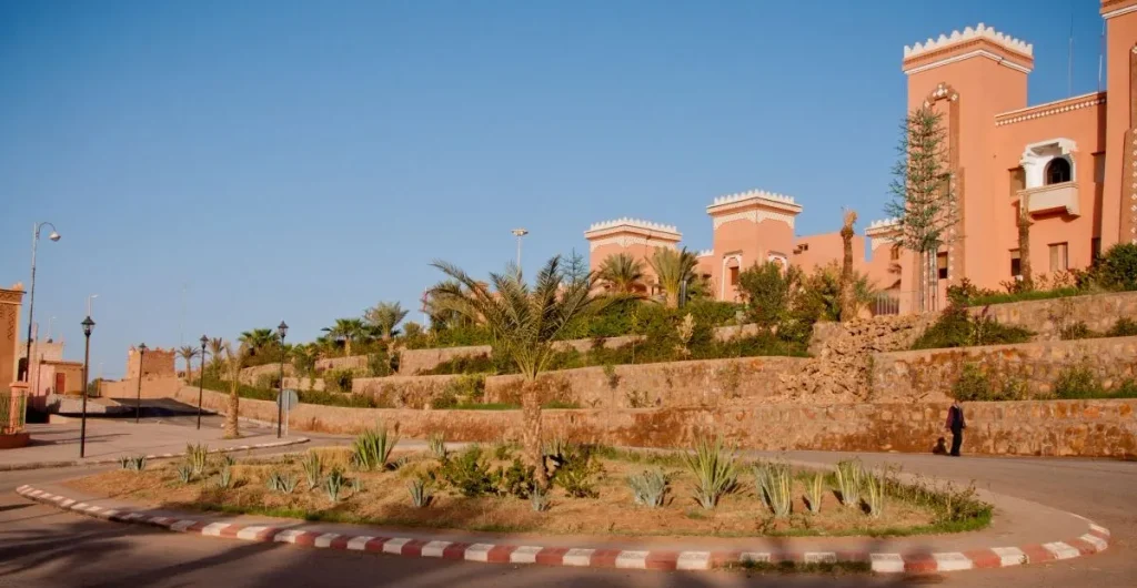
To understand Zagora, you need to leave the main roads and enter the cultivated areas of the oasis.
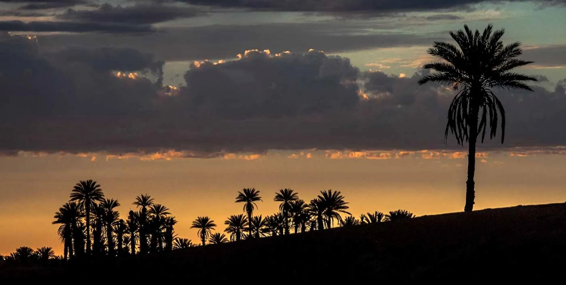
Beneath the date palms are gardens, plots of cereals or lucerne, fruit trees and small irrigation channels. This layered cultivation is one of the defining features of traditional oases: the palms provide shade, while lower levels are used to grow fruit, fodder and food crops.
The contrast with the dry hills surrounding the valley shows just how profoundly water has shaped human life in the Drâa for centuries.
The palm grove is not a tourist park but a working and inhabited landscape. It is best to stay on the paths, respect cultivated plots and ask permission before photographing people.
Amezrou, an old village on the edge of Zagora
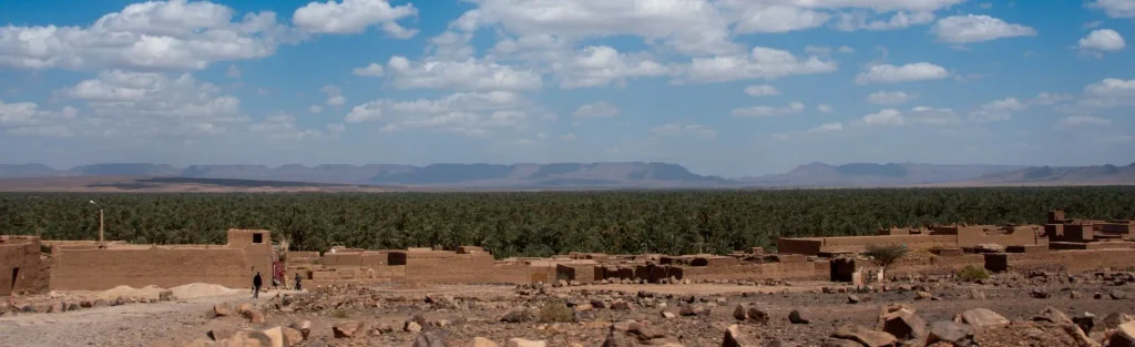
Immediately south of the modern town, Amezrou is one of the most interesting places for understanding the older Zagora.
The village retains dense earthen housing, with narrow lanes and houses closely interwoven with one another. It recalls a time when, long before the development of the modern administrative centre, people lived in fortified settlements within the oasis.
Amezrou was once home to a sizeable Jewish community. Its former mellah contains an earthen synagogue, triangular in plan, which was the subject of a scientific documentation campaign using photogrammetry and laser scanning to produce surveys and three-dimensional models.
This Jewish presence formed part of the much broader history of Jewish communities in the Drâa, which for centuries played an active role in trade, crafts and regional exchange.
The neighbourhood should be approached as a living place rather than as a heritage backdrop. A local guide can greatly improve your understanding of its history and help avoid simply passing through its lanes without grasping their significance.
Jbel Zagora
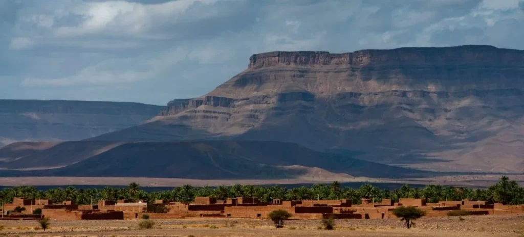
The mountain overlooking the town provides an excellent vantage point from which to understand the surrounding landscape. From its lower slopes, the contrast between the green ribbon of the oasis, the built-up areas and the desert hills becomes particularly clear.
The summit preserves the badly ruined remains of an ancient fortification traditionally associated with the Almoravids. More than a monumental visit, the interest of Jbel Zagora today lies in its commanding position and the view it offers over the landscape.
Any climb towards the summit should take the heat into account, particularly from late spring to early autumn.
‘Timbuktu 52 days’
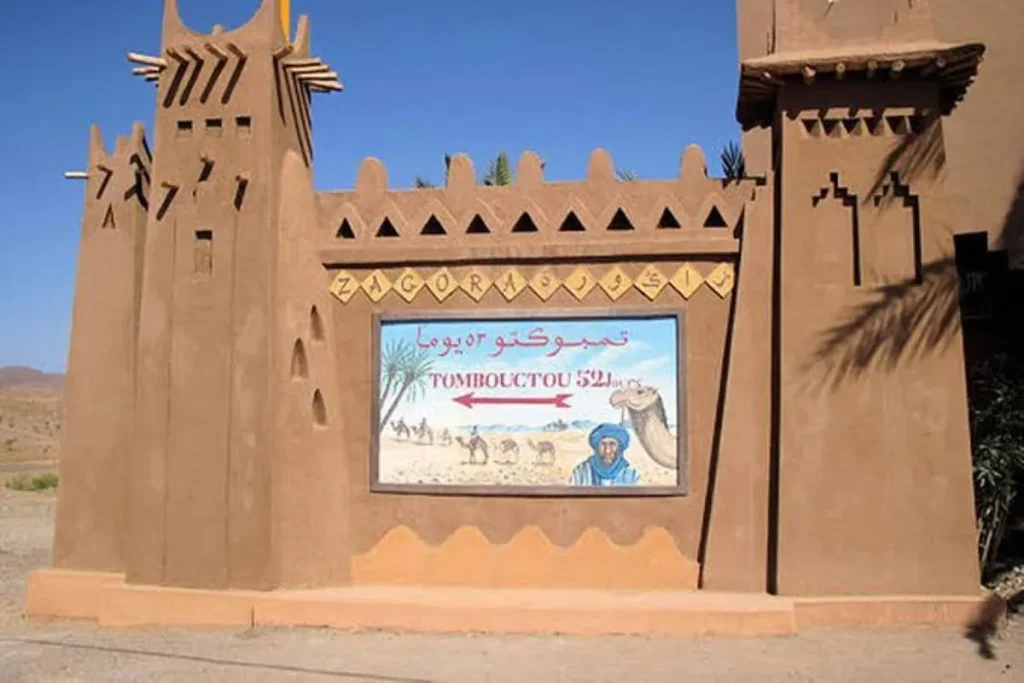
The famous sign reading ‘Timbuktu 52 days’ has become one of the most photographed images of Zagora.
The number evokes the journey time traditionally attributed to caravans travelling between the Drâa and Timbuktu. The actual duration would naturally have varied according to the route, season, availability of water, size of the caravan and travelling conditions.
The sign photographed today is not an ancient relic that has remained in place since the caravan era. The inscription was popularised during the 20th century and its various versions have been replaced or repainted over time.
Its interest is therefore mainly symbolic: in just a few words, it recalls a time when Zagora looked towards a world whose routes continued far beyond Morocco’s present-day borders.
Around Zagora
Tamegroute and the Nasiriyya zawiya
Tamegroute lies around twenty kilometres south of Zagora.
It is home to the Nasiriyya zawiya, founded from the 17th century onwards and gradually established as an important centre of religious teaching and scholarship. Its library is known for its collection of old manuscripts covering subjects including religion, law, language, science and medicine.
The zawiya remains a living religious site. Some areas are not accessible to non-Muslim visitors and visiting arrangements can vary, so check locally.
Read more: The Nasiriyya zawiya of Tamegroute: tracing its origins
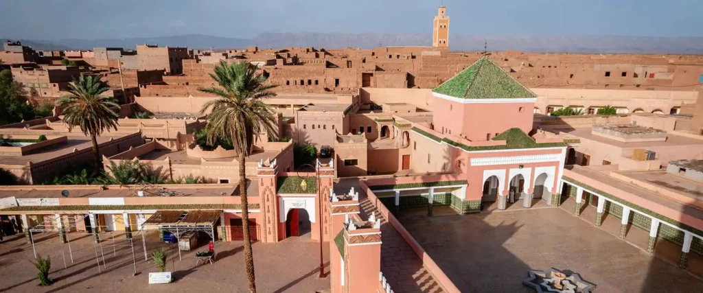
Tamegroute also has a distinctive pottery tradition, immediately recognisable by its green, brown and sometimes yellow glazes. Workshops and kilns remain active, providing an opportunity to discover a craft deeply rooted in the village.
Read more: Tamegroute: green pottery and the Nasiriyya Library

The dunes of Tinfou
A few kilometres beyond Tamegroute, the dune of Tinfou provides a first encounter with the desert, although it is not a vast expanse of dunes comparable to Erg Chigaga or Erg Chebbi.
Tinfou is therefore best seen as a scenic stop on the way towards the more desert-like landscapes further south.
The ksour and villages of the valley
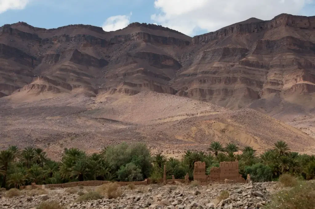
Between Agdz, Zagora and Tamegroute, the Drâa Valley is dotted with old ksour, villages and earthen kasbahs.
Some are badly deteriorated, while others are still inhabited. They reflect an architecture adapted to the climate, the scarcity of building materials and the historic need to group homes together behind protective walls.
The interest of the journey does not necessarily lie in any single monument: it often comes from the succession of landscapes, villages, palm groves and earthen silhouettes appearing along the valley.
An exceptional area for rock art
Along the Drâa and in neighbouring areas, at least 120 rock art sites have been documented, making this, according to the British Museum, the largest concentration of rock art sites in Morocco.
The sites are scattered and often difficult to locate. Their fragility means that nothing should be touched, traced over, wetted or moved. It is preferable to visit them with someone who knows the local heritage and the exact locations.
Read more: The rock art heritage of South-Eastern Morocco
Beyond Zagora
M’Hamid El Ghizlane
Around one hundred kilometres south of Zagora, M’Hamid El Ghizlane marks the end of the tarmac road and the transition into the great open spaces of the Sahara.
Once a stop on the caravan routes and the centre of an important oasis, the settlement is now one of the main departure points for Erg Chigaga.
M’Hamid should not be treated as a simple excursion of a few hours from Zagora. The journey passes through Tamegroute, Tinfou and several oases, and the area deserves at least one night if you genuinely want to discover its Saharan landscapes.
Discover: M’Hamid El Ghizlane: gateway to the desert
Erg Chigaga
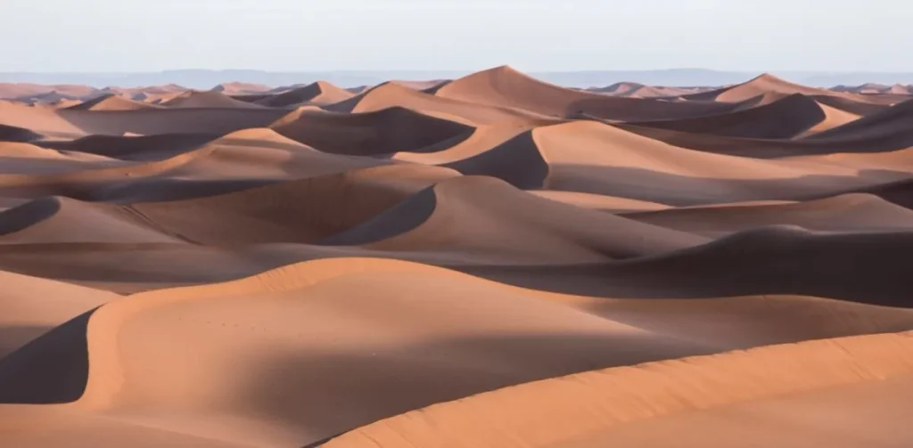
Beyond M’Hamid, Erg Chigaga is one of the largest dune systems in southern Morocco.
Unlike Erg Chebbi near Merzouga, the dunes cannot be reached directly by tarmac road. Reaching them involves driving along tracks and across desert terrain, usually in a four-wheel-drive vehicle with a driver who knows the routes.
This relative difficulty of access is precisely part of what gives the site its sense of isolation.
Choosing an operator deserves some care: the condition of the vehicles, the driver’s experience, camp conditions, the treatment of animals when camel treks are offered, and waste management are all worth checking.
Looking for advice? Contact us
To the north: Agdz and the upper Drâa Valley
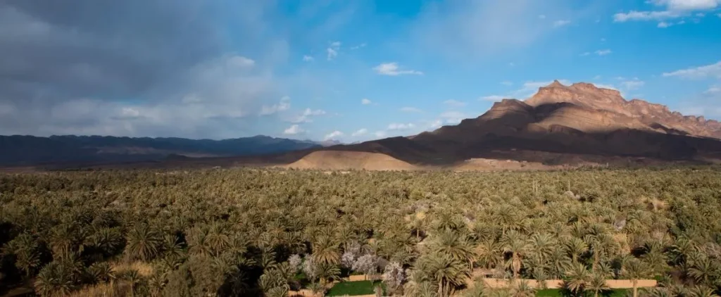
Heading back towards Ouarzazate, Agdz opens onto another part of the valley.
The palm grove here is particularly dense and the area preserves several remarkable examples of earthen architecture, including Tamnougalt. This part of the Drâa also deserves more than simply being passed through by car.
Zagora and Agdz can therefore be seen as two complementary gateways to a valley that gradually changes character: narrower and more agricultural in the north, broader and more arid as it approaches the Sahara.
How to get Zagora
From Ouarzazate
The N9 crosses the Jbel Saghro range via the Tizi n’Tinififft pass before reaching Agdz and then the Drâa Valley. From Agdz onwards, the road largely follows the palm groves as far as Zagora.
The journey is a discovery in itself: ksour, villages, kasbahs, gardens and palm trees accompany much of the route.
From Marrakech
The route crosses the High Atlas via the Tizi n’Tichka pass, reaches Ouarzazate and then continues towards Agdz and Zagora.
The distance and mountain roads make this a long journey. Zagora is best treated as a genuine stopover rather than a quick excursion from Marrakech.
By public transport
Coaches and shared taxis connect Zagora with Ouarzazate, Marrakech and several towns in South-Eastern Morocco. Timetables and frequency can change, so it is best to check locally, particularly for onward connections to villages further south.
By air
Zagora has a small airport located 14 km from the town. Royal Air Maroc operates services between Casablanca and Zagora, although operating days and availability vary according to the season. Flights should therefore be checked directly when planning your journey.
Need a taxi? : Contact us
Where to stay in Zagora?
The town centre works well for a short stop or for travellers who want to stay close to shops, transport and restaurants.
For a stay of several days, accommodation in the palm grove, around Amezrou or slightly outside the centre tends to offer a quieter environment and a stronger sense of the oasis.
Zagora also has many agencies and accommodation providers offering desert excursions. Bear in mind, however, that the major ergs with their large dunes lie some distance from Zagora. A night sold as a ‘night in the Zagora desert’ does not necessarily mean staying among vast Saharan dunes: always check the exact location of the camp.
When to visit Zagora?
Autumn, winter and early spring are generally the best seasons for discovering Zagora and the Drâa Valley.
From October to April, daytime temperatures are better suited to walking through the oases and taking excursions. Nights can nevertheless become cold in winter, particularly when staying in desert camps.
In spring, the light and cultivated landscapes make the valley particularly attractive, although daytime temperatures can already rise quickly.
Summer is extremely hot. Temperatures can rise well above 40°C, making visits, walks and desert excursions considerably more demanding. Travel should then be organised for early morning or late afternoon, and the need for water should never be underestimated.
Further reading: Planning your trip to South-East Morocco
Use our contact form.
We will be happy to answer your questions.
More to Explore