Discover Midelt: between the Middle Atlas and the Tafilalet
At around 1,500 metres above sea level, Midelt occupies a distinctive position between the Middle Atlas and the peaks of the eastern High Atlas. Long seen as a mere stopover between northern Morocco and the Tafilalet, the town deserves more than a passing glance: it helps us understand a landscape shaped by mountains, mines, orchards and the roads that cross the Atlas.
Midelt has neither a great medina nor a landmark monument. Its interest lies elsewhere: in the old ksour around the modern town, in the traces of its mining history and, above all, in the landscapes that stretch out at the foot of Jbel Ayachi. It is the northern gateway to South-East Morocco.
Overview
Midelt and its surroundings at a glance
Midelt is the hub of five areas: the town and its ksour, the Ahouli and Mibladen mines, the Jaffar Cirque, the Jbel Ayachi massif, and the orchards and villages of the upper Moulouya. The map shows them all.
Why stop in Midelt?
Midelt is, above all, a place of transition. Arriving from the north via Azrou and the Zad Pass, the forests of the Middle Atlas gradually give way to broad, drier plateaux. To the south, the road crosses the first mountain reliefs announcing the pre-Saharan valleys and the Tafilalet. The town therefore lies at the meeting point of several geographical, human and climatic worlds.
This position partly explains its development. Midelt became an administrative, commercial and road hub linking the villages of the Upper Moulouya, the territories of the Eastern High Atlas and the towns farther south. The province remains largely rural, while Midelt itself serves as a market and service centre for people living in the surrounding mountains and plateaux.
Three elements sum up its identity today:
- mining and minerals, which have profoundly shaped its economic history;
- the mountains, dominated by the Jbel Ayachi massif;
- orchards, particularly apple orchards.
The history of Midelt
The area was not empty before the modern town was founded. Amazigh communities lived in ksour and fortified villages scattered across the upper Moulouya valley. Several of these older settlements are still inhabited around the present-day town.
Modern Midelt began to take shape in the early 20th century, generally dated to 1917, when the French Protectorate established an administrative and military presence there. Its location allowed control of the route linking the Meknes region with South-Eastern Morocco.
Midelt’s growth was then accelerated by the exploitation of the lead and zinc deposits at Ahouli and Mibladen from the 1920s onwards. People from the surrounding areas found work in the mines, road construction and the new administrative and commercial services. Midelt thus became a relatively recent town established in the middle of a much older rural landscape.
Large-scale mining declined and eventually ceased in the early 1980s. Mining has not disappeared entirely, however: small-scale extraction and the trade in mineral specimens continue to provide income for some families around Ahouli, Mibladen and Zaïda. The region is particularly well known among collectors for its vanadinite crystals.
Since 2009, Midelt has also been the capital of a province within the Drâa-Tafilalet region.
Explore further: The Glaoua, the extraordinary story of a small Berber tribe of the Atlas
What to see and to do in Midelt?
Discover the town centre
Midelt is not built around an old medina. Its centre is that of an administrative and commercial town developed during the 20th century: a broad main avenue, cafés, shops, public buildings and neighbourhoods constructed at different periods.
A walk through the centre is above all an opportunity to observe everyday life in a mountain town away from Morocco’s main tourist centres. Shops selling minerals are a reminder of the continuing importance of mining. Some specimens come from around Mibladen and Ahouli, although their exact provenance and the conditions under which they were extracted are not always easy to establish.
Midelt is therefore less a town of monuments than a living centre connected to the villages, orchards and mining areas that surround it.
The old ksour around the modern town
Before Midelt developed, settlement was organised around several fortified villages. Some of these ksour still survive immediately around the modern town. Their earthen buildings, narrow lanes and layout contrast sharply with the more recent urban fabric of the centre.
These neighbourhoods are not monuments arranged for tourism, but places where people live. Visitors should therefore remain discreet and respect the daily life of residents. The website of the Notre-Dame de l’Atlas monastery itself notes that the monastery stands between two of these old ksour.
Notre-Dame de l’Atlas Monastery
Located in the Kasbah Myriem, Notre-Dame de l’Atlas has housed since 2000 a small community of Cistercian monks linked to the community of Tibhirine in Algeria. It is one of the most distinctive contemplative Christian presences in the Maghreb and preserves the memory of the monks murdered in Algeria in 1996.
The monastery sees itself as a place of prayer, hospitality and dialogue with the surrounding Muslim population. It is not an ordinary tourist attraction. Any visit or stay should be approached with respect for the life of the community and, preferably, after making contact in advance.
Understanding the importance of apples
Midelt is often described as Morocco’s apple capital. In reality, this reputation applies more broadly to the whole province, where altitude, cold winters and access to water have encouraged the development of fruit growing.
The orchards do not necessarily form a spectacular landscape within the town itself, but they play an important economic and cultural role. The National Apple Fair, held in Midelt in autumn, brings together growers, cooperatives and other actors in the sector. Dates vary from year to year and should be checked before travelling.
Getting to Midelt
From Fez or Meknes
Follow the N13 south via Azrou and the cedar forests of the Middle Atlas. The journey is around 200 km and takes approximately 3 hours 30 minutes in good conditions.
From Errachidia and the Tafilalet
The N13 heads north, crossing the Tizi n’Talghomt pass before descending towards Midelt. The distance is around 140 km and the journey takes a little under 2 hours.
By public transport
Buses and shared grand taxis connect Midelt with Fez, Meknes and Errachidia along the N13. It is one of the better-served routes in the region.
In winter
Snow can affect the road over the mountain passes. It is sensible to check road conditions before setting out, particularly when travelling beyond Midelt towards Imilchil.
Where to stay in Midelt?
The town centre suits travellers who simply want to break their journey and continue the following morning. Shops, cafés and public transport are all easily accessible.
For a stay of several days, accommodation on the outskirts or in the surrounding countryside generally offers a quieter setting and more open views towards the mountains and orchards.
Travellers wishing to explore the Jaffar Cirque, the former mining sites or the valleys of Jbel Ayachi may prefer accommodation able to put them in contact with a reliable local guide. The actual availability of a guide and their knowledge of the terrain should be checked directly rather than assumed from a simple mention on a booking platform.
Need advice? Contact us
When to visit Midelt?
Spring and autumn generally offer the most pleasant conditions for discovering the town and its surroundings. In spring, the orchards blossom while snow may still remain on the mountains. Autumn is the season of the fruit harvest and, depending on the year, the National Apple Fair.
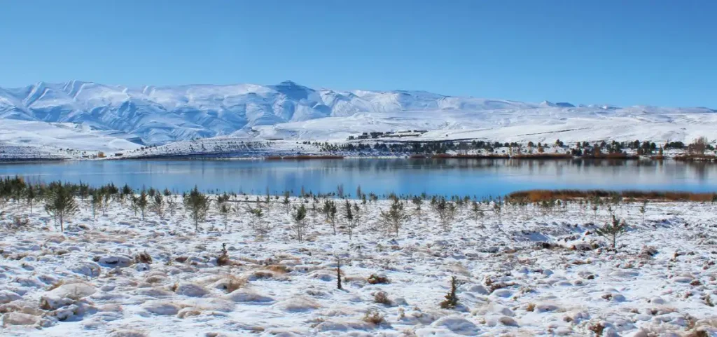
Because of its altitude, Midelt experiences cold winters. Snow and frost can affect roads through the Middle Atlas, the Zad Pass, the N13 and mountain tracks. Before travelling in winter, it is sensible to check road conditions.
Summer is warmer and drier, although nights can remain cool. For mountain excursions, conditions should always be checked locally whatever the season. The province is characterised by marked temperature variations and irregular rainfall, sometimes accompanied by torrential downpours.
Around Midelt
The full interest of the area becomes apparent once you leave the town itself.
The former mines of Ahouli and Mibladen
The mines of Ahouli and Mibladen were once among Morocco’s main centres of lead production. Their development from the 1920s onwards led to the construction of housing, workshops, industrial installations, transport infrastructure for the ore and a power station.
At Ahouli, the former industrial buildings occupy a dramatic site in a narrow rocky valley. The remains give a sense of both the scale of this mining adventure and the abandonment that followed the closure of the main operations in 1983. Mibladen likewise retains a strong mineralogical identity, particularly through vanadinite and other crystals sought after by collectors.
These sites are not developed museums, however. Buildings may be unstable and old mine galleries present serious risks. Visitors should remain in accessible surface areas, never enter a gallery and explore the sites with a local person who genuinely knows the area.
Jaffar Cirque
The Jaffar Cirque, also spelt Jaafar, lies at the foot of the Jbel Ayachi massif. The landscape combines rocky reliefs, narrow valleys, high plateaux and wooded areas. It is one of the main excursion destinations from Midelt.
Access is by tracks whose condition can vary greatly depending on rain, snow and roadworks. Information published online is contradictory: some accounts describe a relatively straightforward track, while others report difficult or impassable sections. The cirque should therefore not be considered an all-season excursion suitable for an ordinary car. Conditions should be checked locally and the outing organised with an experienced driver or guide.
The Jbel Ayachi massif
Rising above the region to peaks of more than 3,700 metres, the Jbel Ayachi massif belongs to the Eastern High Atlas. Its foothills offer high-mountain landscapes very different from the more frequently visited routes of the Central High Atlas.
The massif can be approached from several villages and valleys near Midelt. Reaching the summit, however, is a genuine high-mountain undertaking: remoteness, altitude, rapidly changing weather and possible snow require qualified guidance and appropriate preparation. A simple walk through the valleys and lower foothills already offers an excellent way to experience the massif without attempting the ascent.
Villages and orchards of the Upper Moulouya
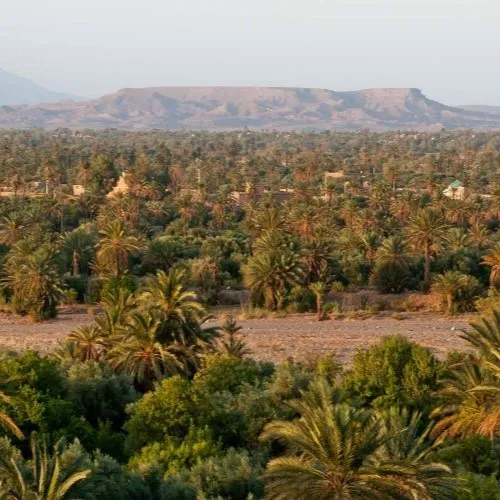
Around Midelt, irrigated valleys contain orchards of apple, plum, apricot and walnut trees. These agricultural landscapes are particularly attractive in spring during blossom time, and again in late summer and autumn during the harvest.
The villages also offer opportunities to observe earthen architecture and forms of settlement that pre-date the development of Midelt. This is not a marked tourist circuit: its interest lies in the succession of landscapes, cultivated areas and inhabited places.
Beyond Midelt
Imilchil and the lakes of Isli and Tislit
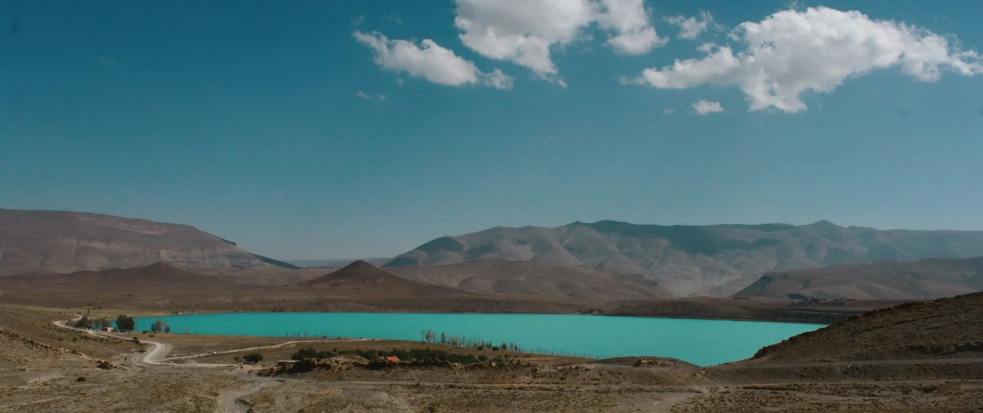
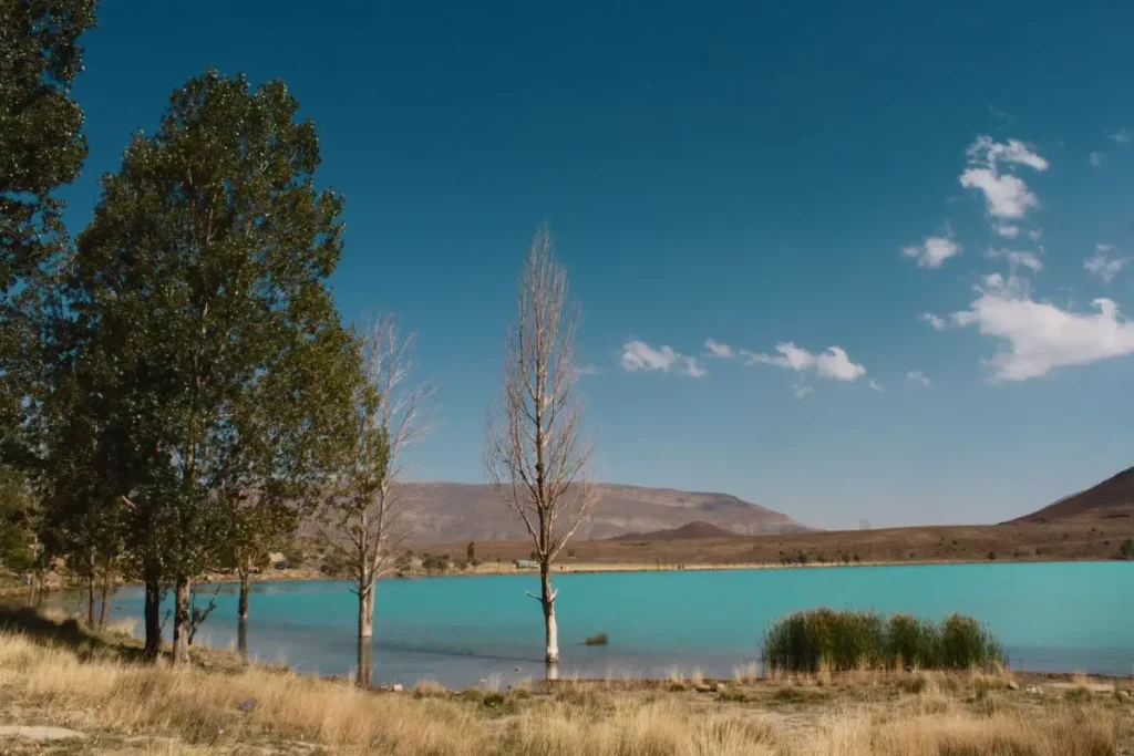
At the other end of the province, the Imilchil area lies in the highlands of the Eastern High Atlas. Lakes Isli and Tislit are among its best-known landscapes. Surrounded by arid mountains and high-altitude pastures, their waters form an unexpected presence in the middle of these vast uplands.
An oral tradition links the two lakes to the story of two young people from opposing groups who were prevented from marrying. Their tears are said to have created the two lakes. The legend is now frequently associated with the Imilchil Moussem, although the actual history of this matrimonial gathering and its later transformation into a tourist event should be distinguished from the legendary account. Morocco’s National Tourist Office itself repeats the association between the two lakes and the story of an impossible love.
Imilchil and the lakes are not, however, a quick excursion from Midelt. The distance — around 170 to 200 km by road depending on the route — together with mountain roads and winter conditions means that at least one night in the area should be planned. Imilchil is better regarded as a destination in its own right rather than a simple detour during a stop in Midelt.
South towards the Tafilalet
Beyond Midelt, the N13 crosses the Tizi n’Talghomt pass before reaching Errachidia, gateway to the Tafilalet. The road then follows the Ziz Gorges towards Rissani and the remains of the ancient city of Sijilmassa, one of the great caravan crossroads in Moroccan history.
North towards the Middle Atlas
In the opposite direction, the N13 links Midelt with the cedar forests of Azrou and Ifrane. This side belongs more to the Middle Atlas than to South-Eastern Morocco: another region, to explore another time.
Read also: Sijilmassa, the legendary city that made the true heart of the Maghreb shine
Further reading: Planning your trip to South-East Morocco
Use our contact form.
We will be happy to answer your questions.
More to Explore