The desert in south-eastern Morocco: dunes, oases and the memory of the caravans
In south-eastern Morocco, the desert does not begin with the first dune. It announces itself through stony plateaux, dry valleys and thinning palm groves before opening onto the great ergs of Chigaga and Chebbi. Today, these landscapes are among the great reasons for travelling in Morocco. But they also carry a much longer history: that of settled and mobile populations, oases that made crossings possible, caravans linking the Maghreb to the Sahel, and societies that learnt to live with space, heat and the scarcity of water. Discovering the desert therefore means looking at the dunes without forgetting the routes, the people and the memories that surround them.
Overview
- The desert begins long before the dunes.
- A human presence older than the caravans.
- Oases, centres of life on the fringes of the Sahara.
- From the Drâa to the Tafilalet, the memory of the great caravan routes.
- A living desert: dromedaries, wildlife and vegetation.
- Nomads and pastoralists: living in the desert through movement.
- Two great gateways to the desert: M’Hamid El Ghizlane and Merzouga.
- Discovering the desert today.
- A fragile environment under pressure.
- The desert, a territory of memory as much as travel
The desert begins long before the dunes
The tourist image of the Sahara is almost always one of dunes rolling towards the horizon.
The real desert is far more diverse, made up of ergs, regs and hamadas.
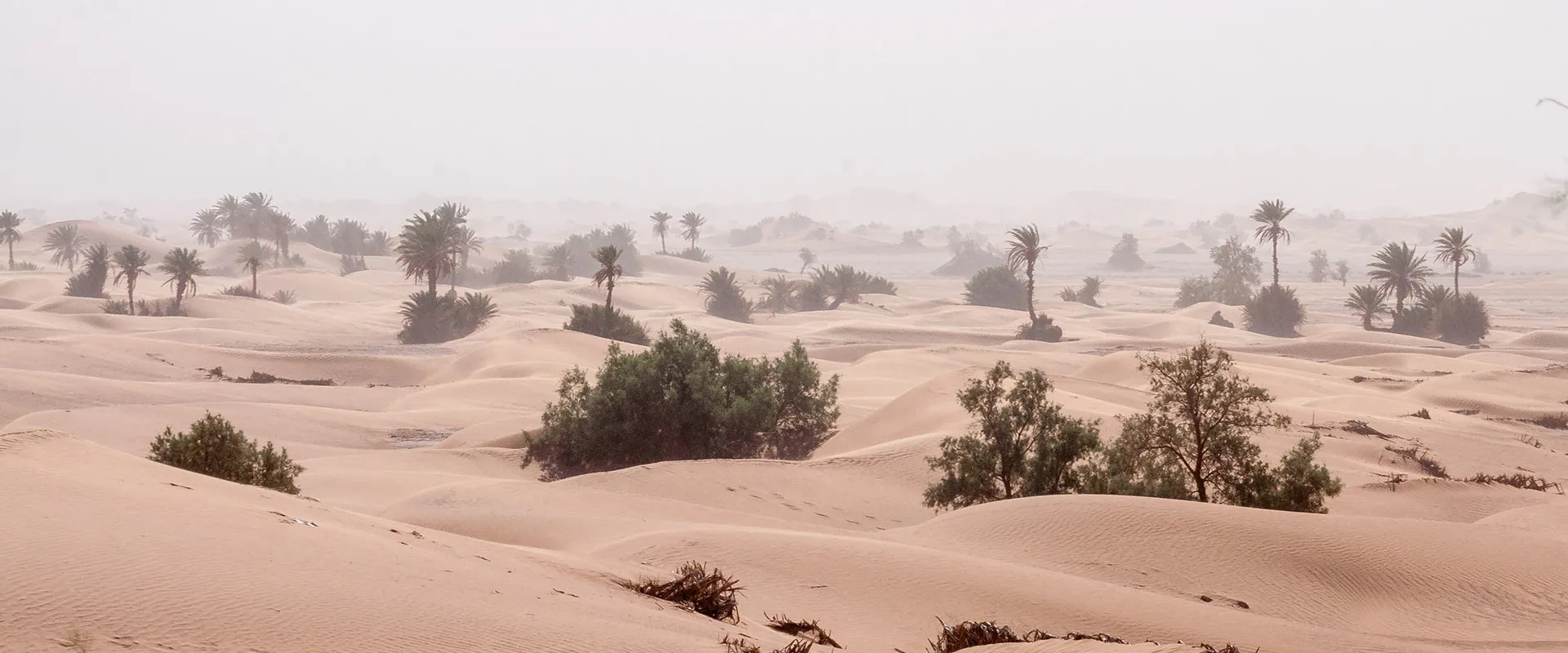
An erg is a vast expanse of dunes shaped by the wind. Erg Chebbi, at Merzouga, and Erg Chigaga, beyond M’Hamid, are the two best-known examples in this part of Morocco.
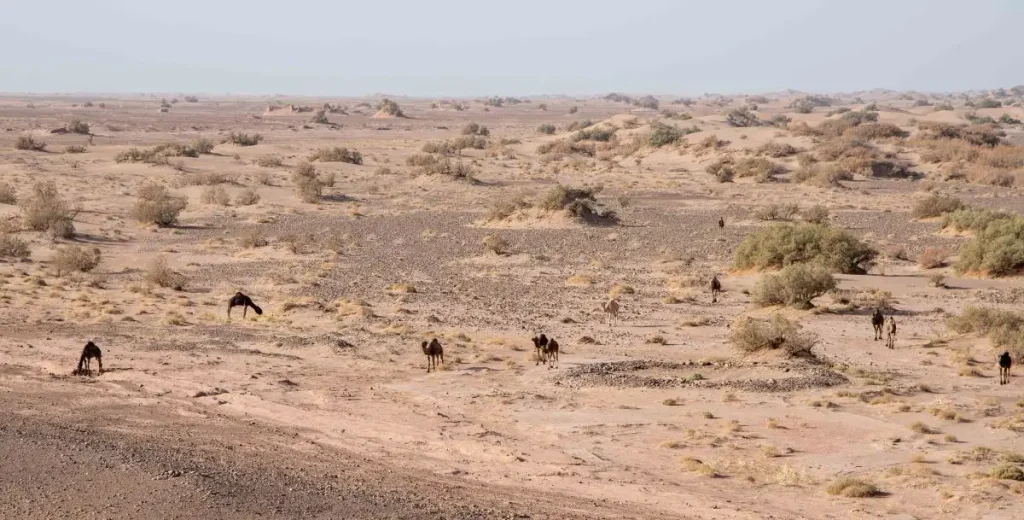
But a large part of the desert landscape is also made up of surfaces almost entirely devoid of sand: regs covered with stones, hamadas forming vast rocky plateaux, mountainous reliefs, alluvial plains, temporarily dry wadi beds and depressions where water may sometimes return.
The desert therefore does not suddenly begin south of a precise line.
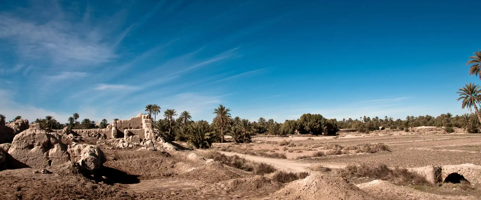
From Ouarzazate, it emerges gradually. Vegetation becomes scarcer, cultivated valleys narrower, and mountains give way to broad mineral expanses. In both the Drâa and the Tafilalet, oases and arid lands coexist long before the great dune fields appear.
This transition is essential to understanding south-eastern Morocco: the desert and the oasis are not two opposing worlds, but two spaces that have historically depended on one another.
Oasis populations used the neighbouring desert for grazing, movement and exchange. Nomadic populations, in turn, depended on the markets, crops and water of the oases. More than the sand itself, these relationships shaped the Moroccan fringes of the Sahara for centuries.
A human presence older than the caravans
The desert can easily give the impression of a landscape without traces. Archaeology tells exactly the opposite story.
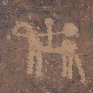
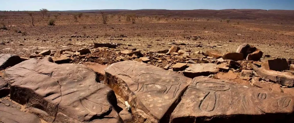
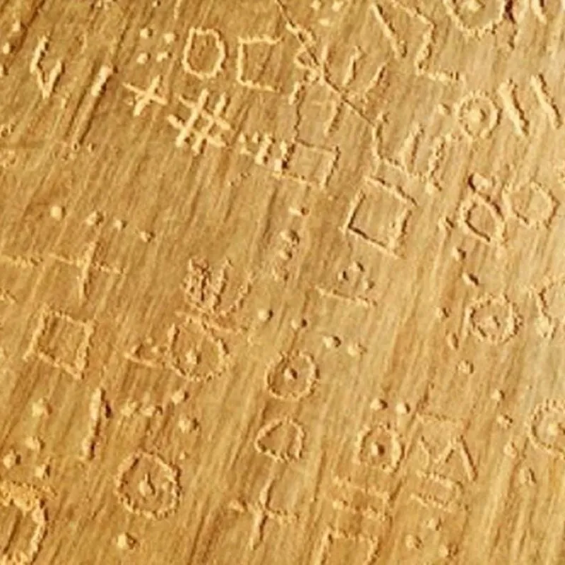
In the Drâa, the Tafilalet, around Taouz and across the pre-Saharan reliefs, rock engravings, funerary monuments and ancient habitation sites bear witness to human presence long before the great medieval caravan routes.
Rock art provides some of the most visible evidence. Animals now absent from the region — elephants, rhinoceroses, giraffes, antelopes and large bovids — also remind us how greatly environmental conditions have changed over the millennia.
These representations do not describe a uniform “Green Sahara” that suddenly became desert. They belong to a long history of climatic fluctuations, environmental change and human adaptation.
Archaeological research in the Middle Drâa Valley has profoundly renewed our understanding of this history. Hundreds of sites have been recorded, revealing protohistoric occupations as well as a major phase of settlement between the fourth and sixth centuries AD, long before the great expansion of medieval caravan cities. Researchers see in these sites some of the first stages in the development of more permanent settlement and oasis agriculture.
The desert therefore did not wait for the caravan to become a human territory.
Groups hunted there, raised livestock, cultivated its margins, buried their dead and moved across it long before the gold of the Sahel or the salt of the Sahara gave the great crossings their commercial scale.
Read more: Rock art heritage in south-eastern Morocco.
Oases, centres of life on the fringes of the Sahara
Crossing the Sahara first meant knowing where to find water.
Here, the oasis takes on a meaning far beyond that of a simple landscape of palm trees. It becomes a vital infrastructure of the desert: providing water for people and animals, but also cereals, dates, fodder and places where equipment could be repaired, information obtained, guides recruited and goods exchanged.
The great Saharan routes were therefore not lines drawn through an empty space. They connected oases, places of supply and markets, and shifted according to the availability of water, security, political powers and the importance of trading centres.
In south-eastern Morocco, two major oasis regions played a particularly important role: the Drâa Valley to the west and the Tafilalet to the east.
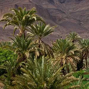
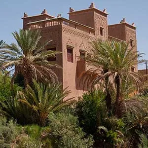
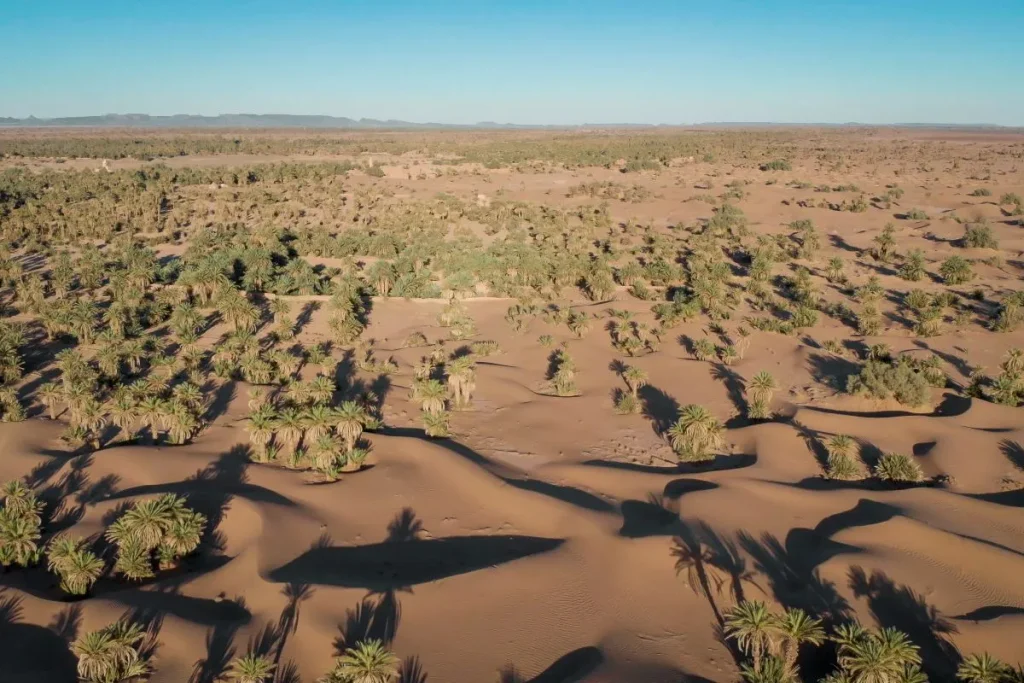
The Drâa Valley forms a long cultivated corridor extending towards the Saharan spaces. Agdz, Zagora and then M’Hamid El Ghizlane mark this progression until the palm groves themselves begin to break up and cultivated land increasingly gives way to desert expanses.
Farther east, the Ziz and Ghéris create the vast oasis region of the Tafilalet.
It was here, in the eighth century, that a city emerged which would become one of the great names in Saharan history: Sijilmâsa.
Read more: The oases of south-eastern Morocco: a civilisation shaped by water.
From the Drâa to the Tafilalet, the memory of the great caravan routes
Today, the caravan occupies an almost romantic place in the imagery of the desert. The historical reality was far more significant — and far more complex.
Trans-Saharan trade did not follow a single “caravan route”, but a network of tracks and corridors whose importance changed over the centuries.
In the eastern part of south-eastern Morocco, Sijilmâsa, founded in the mid-eighth century, became one of the main northern outlets of these networks. For several centuries, this city of the Tafilalet formed a major crossroads between the Maghreb and the kingdoms of the Sahel. Historical sources and archaeology describe it as a true “caravan port”, active between the eighth and fifteenth centuries.
From here, caravans departed for territories south of the Sahara; others arrived before their goods continued towards the great cities of the Maghreb and the Mediterranean world.
West African gold was one of the most famous drivers of these exchanges. Its importance was such that, during the Middle Ages, Sijilmâsa became one of the Maghreb’s major centres for minting gold dinars. Recent research confirms the essential role played by trans-Saharan networks in bringing West African gold to the mints of the Islamic world.
But caravans carried far more than gold.
Salt, copper, textiles, cereals, dates, ivory, hides, craft products and a wide range of everyday goods moved in both directions. The trafficking of human beings was also part of this economy: enslaved people were taken from sub-Saharan Africa to markets in the north. Caravan history cannot therefore be reduced to the picturesque image of long lines of dromedaries disappearing towards the horizon.
The Drâa, another route towards the Sahara
Farther west, the Drâa was likewise an ancient corridor between the regions north of the Atlas and the Saharan spaces.
The valley successively provided water, crops and settlements as far as M’Hamid El Ghizlane, beyond which inhabited landscapes gradually give way to the great desert expanses.
M’Hamid still carries this memory of a territory of passage. The settlement lies at the end of the great oasis ribbon of the Drâa and was connected to trans-Saharan trade before becoming, much more recently, one of the main tourist gateways to the Moroccan desert.
Care is needed, however, with stories that turn one particular track into an “immemorial route to Timbuktu”. Routes shifted over time according to political power, the condition of water points, markets and borders.
Even the decline of Sijilmâsa did not bring trade to an end. At the end of the nineteenth century, the economy of the Tafilalet still combined trans-Saharan trade, exchanges between oases, commerce with towns north of the Atlas and movement between the desert and cultivated territories.
Colonisation, the fixing of borders, the development of new transport routes and, later, the arrival of the lorry eventually transformed these movements profoundly.
The commercial caravan has all but disappeared.
Read more: Sijilmassa, the legendary city at the true heart of the Maghreb.
A living desert: dromedaries, wildlife and vegetation
The desert often seems empty because much of the life it contains has learnt precisely how to remain unseen.
Heat, lack of water and extreme temperature variations impose particular strategies on species: nocturnal activity, burrows, rapid movement between shaded areas, water conservation or plant growth concentrated into rare periods of moisture.
The dromedary, a newcomer that became indispensable
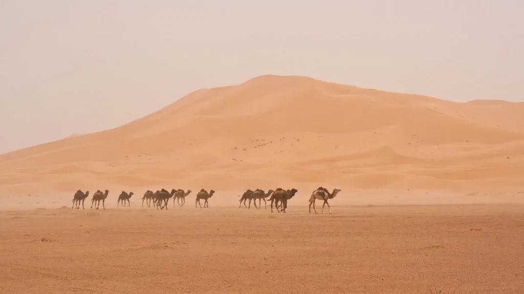
No animal is now more closely associated with the Sahara than the dromedary. Yet it is relatively recent in North Africa.
Camelus dromedarius was domesticated on the Arabian Peninsula, probably during the second millennium BC. Its spread into North Africa took place gradually during Antiquity. In north-western Africa, its presence and use are clearly attested from Late Antiquity onwards, between the fourth and seventh centuries AD.
Before it, horses, donkeys and other pack animals already made it possible to travel through some desert regions. But the dromedary profoundly changed the scale of movement.
Its physiology is exceptionally well adapted to arid environments: it can withstand major variations in temperature, lose a substantial proportion of its body water without dying, feed on poor vegetation and carry heavy loads over long distances. Contrary to a widespread belief, its hump does not contain water, but stores fat.
Its expansion therefore helped make trans-Saharan crossings more regular and more extensive. From Late Antiquity, and especially during the Middle Ages, dromedary caravans became one of the driving forces of exchange between North Africa and the Sahel.
The dromedary is therefore not merely an emblematic animal of the desert: it profoundly changed its human history.
A discreet but very real wildlife
The Moroccan desert is far from devoid of animals. Most are rarely seen during the hottest part of the day. Many are nocturnal or crepuscular, which explains why travellers can cross vast spaces while seeing almost nothing.
The fennec fox is the best-known example. Its large ears help dissipate heat, and it spends much of the day in its burrow. Recent observations continue to confirm its presence around Erg Chebbi at Merzouga.
The dorcas gazelle, once much more widespread, also survives in some of Morocco’s arid regions, particularly in the Drâa and east of the Atlas, although its wild populations are now rare and vulnerable.
Jerboas, small rodents, foxes, insects, scorpions and numerous reptile species complete this fauna. The dune fields of the Tafilalet, including Erg Chebbi, are regarded as particularly important habitats for Morocco’s reptile diversity.
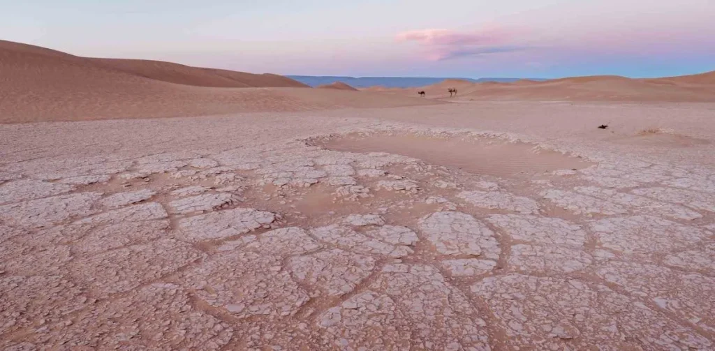
And the desert can produce scenes that seem almost contradictory to its usual image. Near Merzouga, Dayet Srij fills with water in some years after rainfall and then attracts migratory birds. For several weeks or months, water, birds and dunes form a landscape entirely different from the familiar image of a dry Sahara.
Vegetation waiting for its moment
Desert vegetation is also far richer than it first appears.
In the driest areas, it gathers around wadi beds, depressions and places where roots can reach residual moisture.
Acacias, tamarisks, wild jujube trees and various thorny shrubs can therefore punctuate regs and dry valleys. Moroccan biodiversity reports identify acacia formations in particular among the characteristic vegetation of desert ecosystems.
After rain, the change can be spectacular.
Seeds that may have remained dormant for long periods germinate quickly. Grasses and small annual plants appear, providing food for insects, rodents and livestock for a few weeks.
This ephemeral vegetation also explains why areas that appear completely sterile to travellers can become, after rainfall, valuable grazing grounds for pastoral populations.
The desert is therefore not a dead environment. Its life is simply scarcer, more mobile and more closely governed by the timing of water.
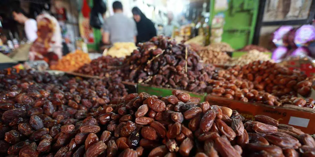
Nomads and pastoralists: living in the desert through movement
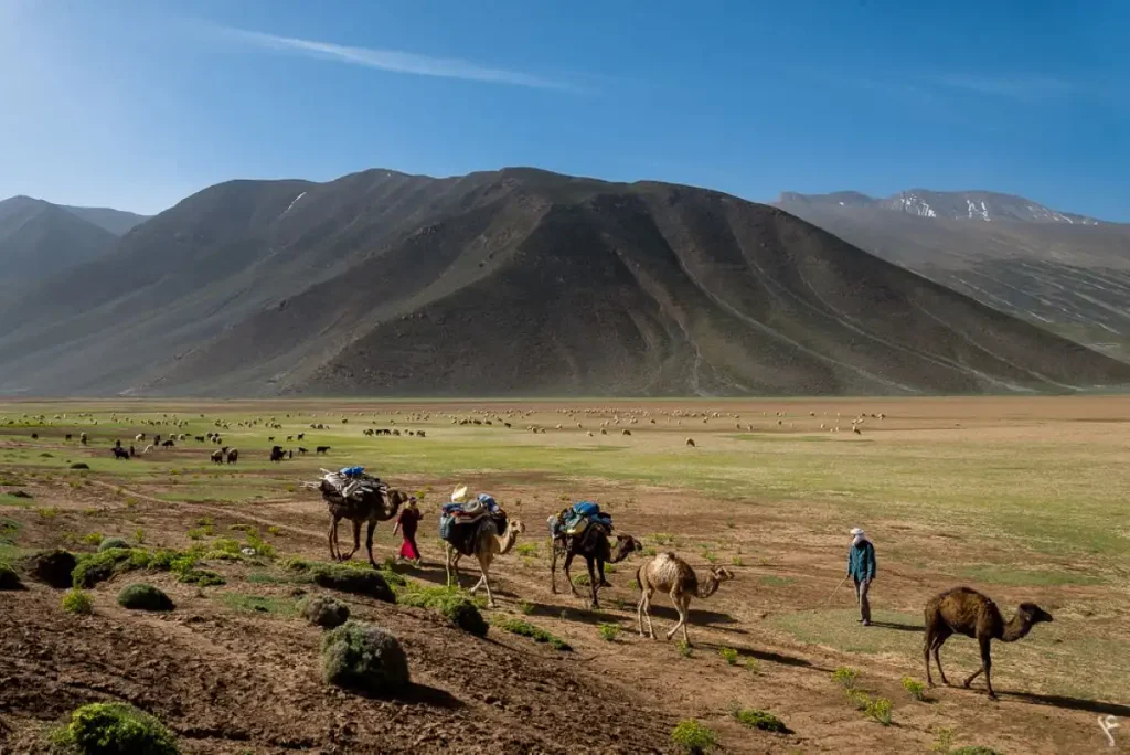
Living in the desert has never necessarily meant remaining permanently in one place. For centuries, pastoralism depended on mobility: moving livestock towards available grazing, reaching a water point, avoiding an area that had become too dry or moving to other territories according to the seasons.
In south-eastern Morocco, different populations therefore maintained complex relationships between mountain, oasis and Sahara.
The Aït Atta are one of the most important examples. Their historic territory stretched from the Saghro and the Dadès and Todgha valleys towards the Drâa, the Tafilalet and the Saharan spaces. Depending on the group and the period, they could be pastoralists, farmers, inhabitants of ksour or nomads.
Around Merzouga and on the eastern fringes of the Tafilalet, the Aït Khebbach, a Saharan branch of the Aït Atta, long made mobility an essential element of their territorial organisation.
The creation of modern borders, colonial conquest and later policies of sedentarisation considerably reduced these areas of movement. Among the Aït Khebbach, permanent housing is now largely dominant, but anthropological research shows that mobility and the tent continue to occupy an important place in social representations and in certain practices.
It would therefore be misleading to present the “nomads of the desert” as static survivors of an unchanged way of life.
Nomadism has its own history. It has adapted to borders, droughts, schooling, motor vehicles, changes in livestock rearing and, more recently, tourism.
Yet it remains a reminder of a fundamental reality: the desert can be inhabited without the permanent construction of a village.
Read more: The shepherd, the forgotten jewel of Morocco’s cultural heritage.
Two great gateways to the desert: M’Hamid and Merzouga
For today’s traveller, two names dominate access to the desert in this part of Morocco: M’Hamid El Ghizlane and Merzouga.
Both lead to great dune landscapes, but they offer very different experiences.
M’Hamid and Erg Chigaga, the desert at the end of the Drâa
The road descending from Ouarzazate follows the Drâa Valley for a long way. It passes through Agdz, Zagora and Tagounite before reaching M’Hamid El Ghizlane, the last major oasis before the Saharan spaces.
The journey itself already tells the story of the transition into desert: cultivation becomes less continuous, the palm grove fragments, the relief lowers and the space opens up. M’Hamid marks the end of the paved road leading deep into this part of the Drâa. Beyond it begins a network of tracks crossing regs, hamadas, small dunes and former grazing grounds.
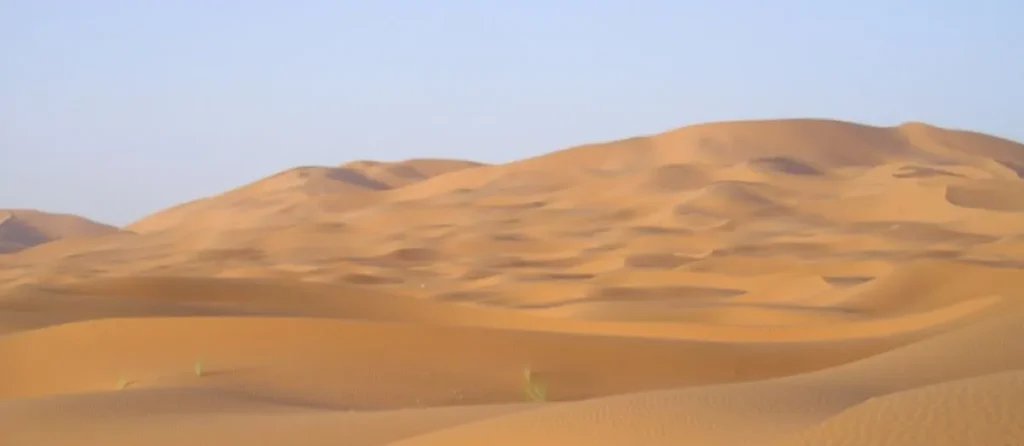
Erg Chigaga lies several dozen kilometres away by track. It is therefore not experienced in the same way as the dunes of Merzouga: the journey continues through the desert on foot, with dromedaries or, most commonly today, by four-wheel-drive vehicle.
This distance profoundly changes the perception of the place. Travellers do not move directly from the road to the foot of a great dune. They first cross the desert that exists between the dunes.
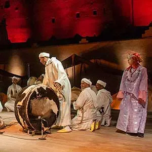
M’Hamid also remains strongly associated with nomadic and caravan memory. Two festivals — the International Nomads Festival and Taragalte — have contributed since the beginning of the twenty-first century to reviving and transmitting this memory through music, poetry, crafts, encounters and reflection on Saharan cultures.
Merzouga and Erg Chebbi, the desert at the gates of the Tafilalet
Farther east, Merzouga offers a very different arrival.
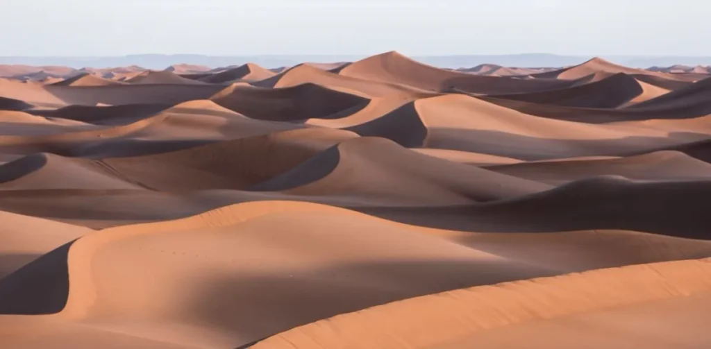
Erg Chebbi rises almost directly beside the villages and the road, making it much easier to access. The dunes form a spectacular mass rising abruptly above the surrounding stony landscapes. Tourist accommodation has developed along much of their western edge, and numerous camps are established around the erg. This proximity makes it possible to reach the dunes within minutes, walk into them directly from accommodation or set off easily for a night in a bivouac.
But Merzouga also belongs to a much broader historical geography. Around forty kilometres to the north lies Rissani and, nearby, the site of Sijilmâsa. Erg Chebbi therefore stands on the margins of a territory that was, for several centuries, one of the great northern gateways of trans-Saharan trade.
Two experiences rather than a ranking
There is little point in asking which of the two deserts is “the most beautiful”.
Merzouga offers almost immediate contact with great dunes and extensive tourist infrastructure.
M’Hamid and Chigaga require a longer journey off-road and give a stronger sense of progression through different desert landscapes before reaching the great ergs.
The choice therefore depends less on the beauty of the landscape than on how one wishes to enter it.
Discovering the desert today
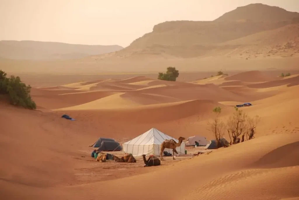
The desert lends itself poorly to a visit reduced to a photographic stop in front of a dune. Its scale demands time.
Walking for a few hours is already enough to perceive variations that are almost invisible from a vehicle: changes in the texture of the ground, animal tracks, sparse vegetation, the direction of the wind or the succession of sand and stone.
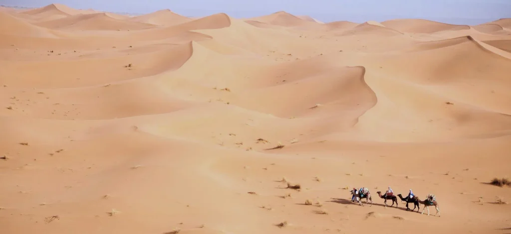
A walk lasting several days or a camel trek offers a deeper experience of this slower perception of space. Travelling by dromedary naturally evokes the old caravans, but today’s tourist experience should not be confused with the historical conditions of those long commercial crossings.
A bivouac, meanwhile, offers two of the desert’s most memorable moments: the arrival of night and the first hours of the morning.
The absence of urban lighting reveals an exceptionally vast sky; at sunrise, the colour and relief of the dunes can change within minutes.
Four-wheel-drive vehicles remain essential for reaching some remote areas, particularly around Chigaga. But the desert often becomes more interesting as soon as one leaves the vehicle.
Autumn, winter and spring are generally the best seasons for discovery. Summer temperatures can become extreme and make long excursions far less suitable.
Finally, in areas far from the roads, local accompaniment is more than a tourist convenience. Knowing the tracks, water points, weather conditions and state of the terrain remains a genuine skill.
Read more: Discover Morocco as in the days of the old caravans.
A fragile environment under pressure
Its immensity easily gives the impression that the desert is indestructible.
It is an illusion.
Desert soils change slowly, and some vehicle tracks can remain visible for a long time. The multiplication of tracks, camps and tourist infrastructure is locally transforming spaces that previously appeared almost empty.
At the same time, tourism represents an important economic resource for populations facing the decline of oasis agriculture and pastoralism. Around both Merzouga and M’Hamid, it has created accommodation, guiding jobs, transport, catering, crafts and new economic opportunities.
The issue is therefore not to oppose tourism and preservation, but to consider how the desert is used and experienced.
Research carried out from the 2010s onwards on Erg Chebbi and M’Hamid was already warning of the effects of insufficiently managed tourism growth: pressure on water, multiplication of buildings and tracks, waste and the degradation of certain natural and cultural forms of heritage.
Pressure on water is particularly sensitive.
A camp in the desert does not escape the need for water simply because it stands in an arid environment. Showers, toilets, kitchens and sometimes swimming pools instead increase demand precisely where the resource is scarcest.
Travellers can therefore make choices too: favour locally rooted businesses, limit unnecessary water consumption, leave no waste, avoid multiplying off-road journeys and remember that an apparently empty space may be grazing land, a natural habitat or a territory used by others.
The desert, a territory of memory as much as travel
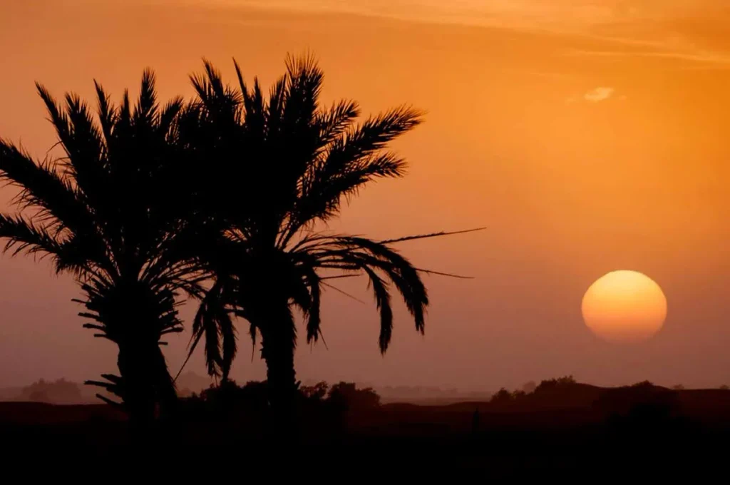
Tourism has created its own image of the Moroccan desert. Golden dunes, sunset, a solitary dromedary and a tent beneath the stars have become almost universal symbols.
These images correspond to a real part of the experience. But they tell only a small part of the story.
Beneath the tourist landscape lies a territory whose history stretches back long before the great caravans. People engraved its rocks, raised animals, buried their dead, built oases and learnt to move between distant resources.
Later, the trans-Saharan routes connected these desert fringes to the wider histories of Africa and the Mediterranean. Sijilmâsa, the Drâa and the oases were no longer peripheral spaces: they became links between worlds.
Commercial caravans have disappeared, borders have changed, nomadic populations have largely become sedentary and tracks are now travelled by motor vehicles.
Yet something of this ancient geography can still be perceived.
At M’Hamid, the palm groves gradually come to an end before the immensity beyond. In the Tafilalet, the ruins of Sijilmâsa remain only a few dozen kilometres from the dunes of Merzouga. And between them, ksour, wells, tracks and traces of camps remind us that here the desert was never simply an emptiness separating two regions.
It was also what connected them.
Read more: In Morocco, the desert that sets you free.
Key points
- The desert in south-eastern Morocco is not limited to dunes: ergs, regs, hamadas, rocky reliefs, dry valleys and oases create very different landscapes.
- The Saharan fringes were occupied and travelled long before the development of the great medieval caravan routes.
- The oases of the Drâa and Tafilalet supplied the water, crops and essential stopping places needed for travel across the Sahara.
- Founded in the eighth century, Sijilmâsa was for several centuries one of the great commercial crossroads between the Maghreb and the Sahel.
- Caravans carried gold, salt and many other goods, but also participated in the trans-Saharan trafficking of enslaved people.
- The dromedary, domesticated in Arabia and later spread through North Africa during Antiquity, profoundly transformed Saharan mobility.
- Despite its apparent aridity, the desert also supports wildlife and vegetation highly adapted to lack of water and extreme heat.
- Nomadism and pastoralism shaped the desert as much as towns and oases; the Aït Atta and Aït Khebbach are two major examples in the South-East.
- M’Hamid El Ghizlane provides access to Erg Chigaga after a genuine crossing of desert landscapes, while Merzouga lies directly at the foot of Erg Chebbi.
- Tourism now represents an important economic resource, but also places pressure on water supplies and certain fragile environments.
- Discovering the desert means understanding that it has never been an empty space, but a territory inhabited, travelled and connected to a much wider history.
A question? Something to share?
Use our contact form.
Discover South-East Morocco